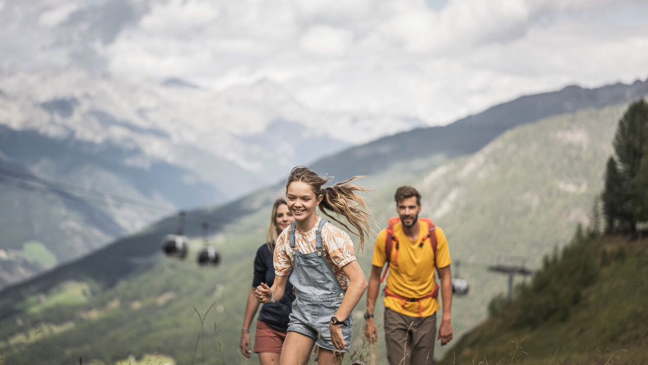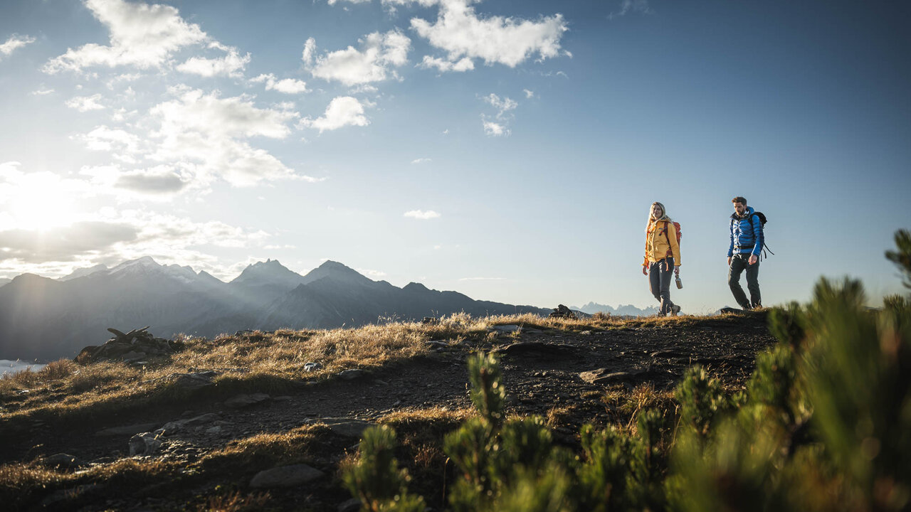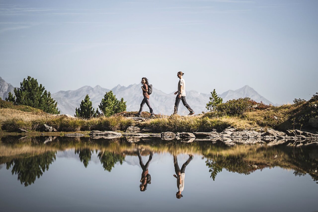
In Riva di Tures hiking is the order of the day. No wonder, given that the home of mountaineering greats such as Hans Kammerlander lies in the heart of the Vedrette di Ries-Aurina Nature Park – undoubtedly the ideal setting for hikes and mountain tours of every level of difficulty. From idyllic alpine pastures to challenging three-thousand-metre peaks, Valli di Tures e Aurina offer an almost limitless range of hiking trails. Here are a few popular classics – and of course, there are plenty more suggestions and tips available at the hotel!
Hiking trail no. 1 starts at the car park of the cross-country skiing centre in Riva di Tures, just a few steps from the Alpenrast Nature Place. The route crosses the Rio di Riva and climbs moderately steeply through wooded slopes, past theMalga Terner di Sotto and an impressive waterfall. After crossing the Rio di Malga Terner, the path leads across a rocky terrace to the Rifugio Roma (2,274 m) at the foot of Collalto. Tip: A detour to nearby Lago Maler is well worth it. Return via the same route as the outward hike, or take the steeper, more secluded forest path no. 8 to the Säge refreshment stop and from there back to the starting point.
Starting point: Alpenrast Nature Plac
Route: approx. 11.5 km (there and back)
Altitude differential: approx. 750 m
Walking time: approx. 4.5 hours (there and back)
Difficulty: intermediate
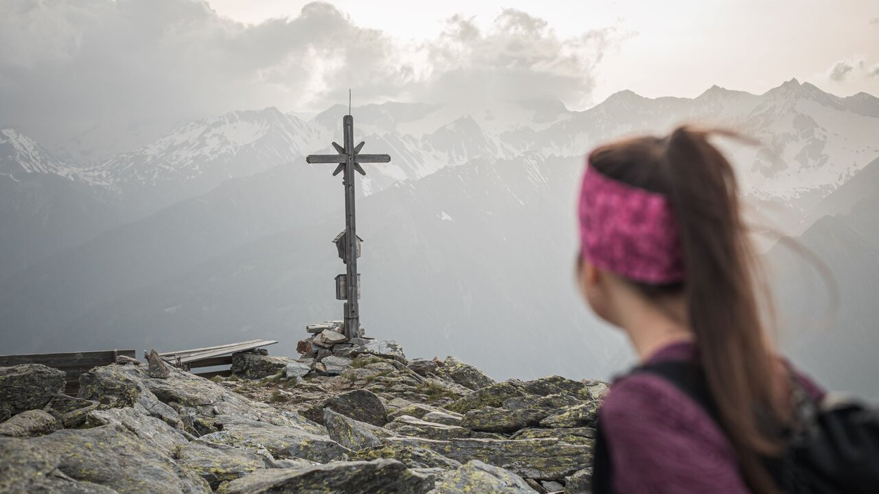
The mountain hike to the Croda Bianca (2,517 m) leads via Malga Durra to the scenic Sentiero Fulda and on to Forcella della Croda (2,452 m). A climb of just under 1,000 metres requires stamina and sure-footedness. The summit is dominated by light-coloured dolomite rock, which rises strikingly from the darker landscape of slate and gneiss. At the top, there is a breathtaking view of Monte Fumo and Vedrette di Ries. Alternatively, the Fulda Trail can be extended all the way to Predoi (a day trip involving around 8 hours of walking).
Starting point: car park Malga dei Dossi
Route: approx. 10 km (there and back)
Altitude differential: approx. 1,000 m
Walking time: approx. 4.5 hours (there and back)
Difficulty: medium to hard
The high route Alta Via di Neves winds through a stunning glacial landscape with views of the Dolomites and the Zillertal Alps. The route winds its way through meadows, woods and babbling brooks, past Malga Neves, the Rifugio Ponte di Ghiaccio and the Rifugio Giovanni Porro, before returning to the starting point. The route is characterised by nearby glaciers, rugged granite formations and vast plateaus, making for a scenic and varied hike.
Starting point: car park Lago di Neves
Distance: 16 km
Altitude differential: 1,470 m
Walking time: 6–8 hrs (total walk)
Difficulty: medium/hard